Carzield (pron Careel)

 |
| Google Earth Reference
Thanks again to Morag and John Williams and to Naimh
Wallace. This is a brief summary
contains much of the information they gave.
If you are interested in knowing more, please contact the blog
Antoninus Pius was the Emperor at the time of the Roman Fort
Roman Troops were pushing North from Hadrian's Wall to build the Antonine Wall.

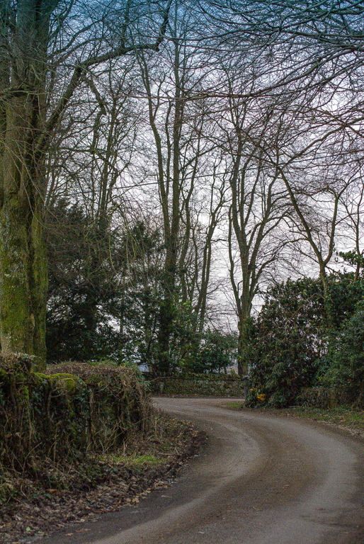
The place photographed is Carzield Roman Fort. It is located on the road that runs from
Portobello Cottage to Connansknowe. These roads run on the main streets of the
Roman Fort. The photographs were taken on the road (Via Decumana) at the
junction of the back entrance to the old manse now known as Glebe House, and
the road leading down to Netherholm Farm, (Via Principalis) to the right of
which is the entrance to Carzield House Drive.
Probably the most significant owner of Carzield estate and
home farm was Ninian Williamson (1841-1922) who was an army surgeon. Kirkmahoe
Church still benefits from a legacy bequeathed by him.
Kirkmahoe former manse was built in 1723 and substantially
altered in the late 18th Century to the designs of John McCracken.
Unfortunately, all evidence of the Roman fort's interior
administrative and accommodation buildings has completely disappeared. The defences at the southern corner-angle
along with 300-foot (c.100m) lengths of the two adjoining sides are all that
remain visible to the modern visitor. There is a small annexe attached to the
north-eastern side of the fort which is visible on aerial photographs and may
become apparent at certain times of the year as vegetative marks.
The Roman buildings were replaced by a medieval tower which
was later converted into a farmhouse before itself being levelled. Both the Roy map and the first series of
Ordnance Survey maps show a number of houses at this location.
|


No comments:
Post a Comment